
Press release Faenza,
Cycle routes, walking trails and footpaths: Romagna in the open air, with routes on the map and GPX tracks
14 cycle routes, 12 multi-stage walks, 12 parks and reserves with 33 trails, 16 valleys and the finest viewpoints.
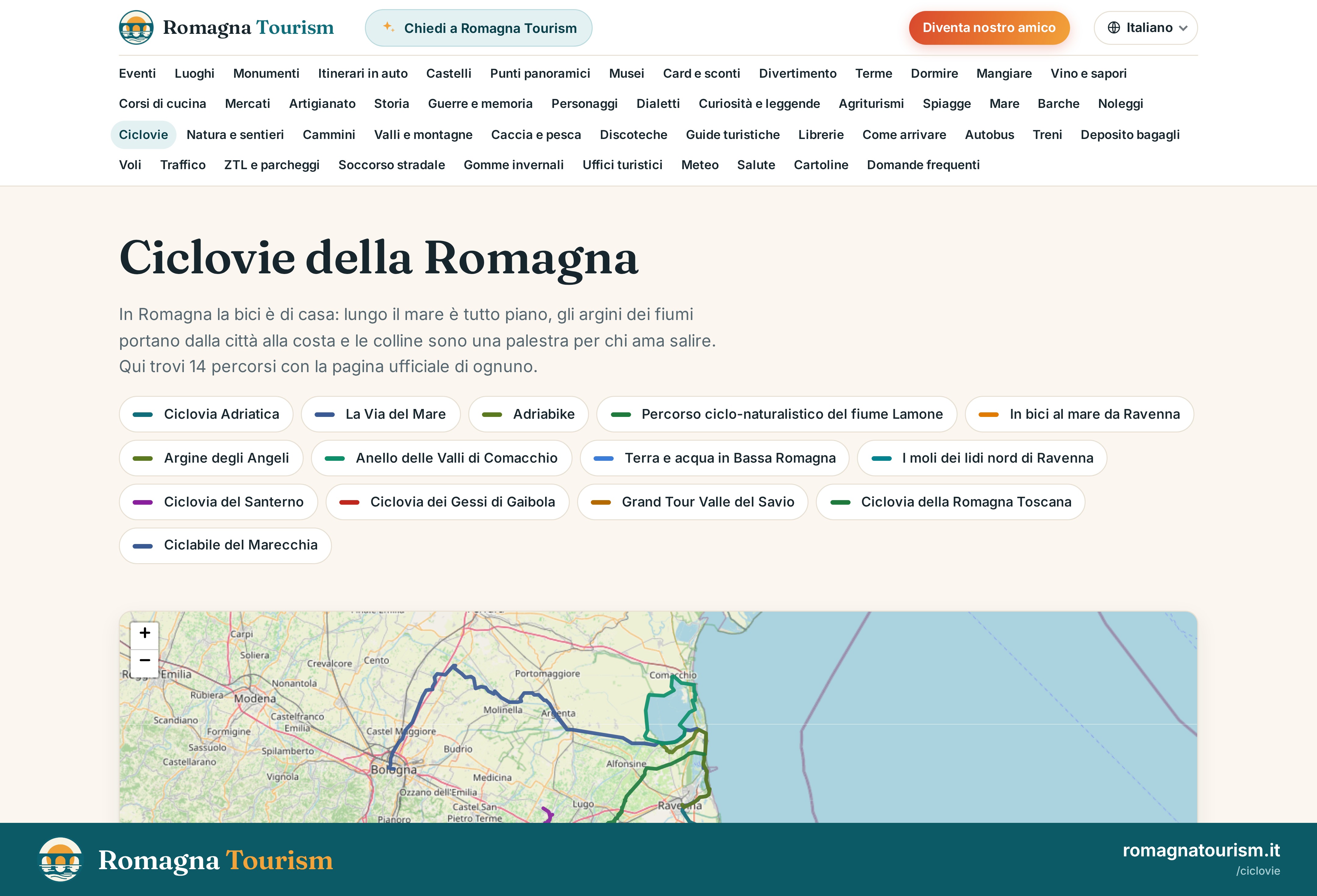
In Romagna, cycling is at home: along the coast it's all flat, river embankments lead from town to shore and the hills are a training ground for those who love climbing. For those travelling on foot there are ancient walks and trails through badlands, gypsum formations and forests. Romagna Tourism has brought them together with routes drawn on the map.
What slow travellers will find
- 14 cycle routes, from the Adriatic Cycle Route to paths along the rivers, each with its official page.
- 12 multi-stage walks, from the Dante Trail to the Via Romea, with length, stages and places.
- Nature and trails: 12 parks and reserves, including the Vena del Gesso romagnola UNESCO World Heritage site, and 33 trails with GPX tracks to download.
- Valleys and mountains: 16 valleys from Montefeltro to the Bologna area and the peaks, from Monte Falco, the roof of Romagna, to Corno alle Scale.
- 21 viewpoints with the best season and time to visit them.
For cycle tourism and slow travel
Each page shows how to reach the start of the route, including by train, and links to bicycle hire and information on weather and traffic.
High-resolution images of the sections are available in the Press Room at romagnatourism.it.
Automatic translation of the original Italian release.
Read it in: ItalianoEnglishEspañolFrançaisDeutschNorskNederlandsPortuguêsSvenskaDanskPolski
Do you need an interview, a photo or another figure? Write to us from the press room